|
| *****SWAAG_ID***** | 954 |
| Date Entered | 06/10/2016 |
| Updated on | 06/10/2016 |
| Recorded by | Tim Laurie |
| Category | Mining Related |
| Record Type | Mining |
| Site Access | Public Access Land |
| Record Date | 29/09/2016 |
| Location | Arkengarthdale, Little Windegg |
| Civil Parish | Arkengarthdale |
| Brit. National Grid | NZ 0092 0490 |
| Altitude | 480m |
| Geology | The Main Limestone |
| Record Name | Lead mine and spoil heap at Little Windegg Scar. |
| Record Description | The neat spoil heap of this small lead mine is located below Little Windegg Scar and just 20m north of the Lead Bale site recorded on the previous record.
The entrance to this level is very narrow and is now blocked with rubble. The narrow entrance is an indication that this level is of an early date and may have been a trial on the line of a vein visible in the face of the Scar. |
| Dimensions | See photos |
| Additional Notes | The lead mine probably post dates the lead bale by several centuries. The source of the lead ore smelted at the bale was probably the shallow scrins or surface pits visible on the slopes above and to the SE of Little Windegg Scar. |
| Image 1 ID | 6982 Click image to enlarge |
| Image 1 Description | Lead mine spoil heap below Little Windegg Scar | 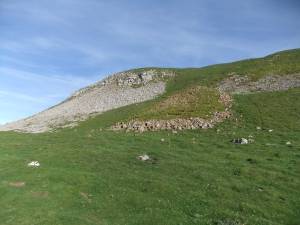 |
| Image 2 ID | 6983 Click image to enlarge |
| Image 2 Description | Lead mine spoil heap below Little Windegg Scar | 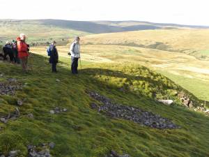 |
| Image 3 ID | 6984 Click image to enlarge |
| Image 3 Description | The very narrow entrance to the level is blocked with rubble. | 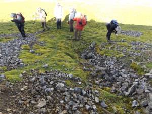 |
| Image 4 ID | 6985 Click image to enlarge |
| Image 4 Description | The very narrow entrance to the level is blocked with rubble. | 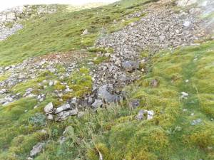 |
| Image 5 ID | 6978 Click image to enlarge |
| Image 5 Description | Little Windegg. The lead bale, lead mine spoil heap and entrance to the lead mine. Seen from below. | 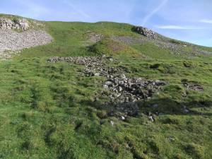 |


